World Travel Reportage
Photos and videos of travel, culture, nature, sports by professional reporters

World Travel Reportage
Everest Base Camp, part 1 (Nepal)
Approach to Lukla airport

Arrival at Lukla airport

Lukla (2840 m)
")
Lukla (2840 m). Mules and yaks are the only means of transport used on the paths of the Himalayan valleys
. Mules and yaks are the only means of transport used on the paths of the Himalayan valleys")
Lukla (2840 m). Mules and yaks are the only means of transport used on the paths of the Himalayan valleys
. Mules and yaks are the only means of transport used on the paths of the Himalayan valleys")
Fields in the village of Chaurikharka seen from the village of Thalsharoa (2678 m)
")
Fields in the village of Chaurikharka seen from the village of Thalsharoa (2678 m)
")
Woods after the village of Thado Koshigaon (2580 m) on the path towards the village of Chheplung (2660 m)
 on the path towards the village of Chheplung (2660 m)")
Zdopke, cross between yak and cow. On the horizon, Mount Kongde in Chauri Kharka Valley

Leaving Lukla, you pass the village of Chheplung with the big Mani (prayer cylinder)
")
Chheplung (2660 m). In prayer in front of the stone prayers
. In prayer in front of the stone prayers")
A bearer is preparing to load on his shoulders the load of goods for sale at the village of Namche Bazar (3440 m)
")
Chheplung (2660 m) suspension bridge over the river Thade Koshi Khola
 suspension bridge over the river Thade Koshi Khola")
Village of Thado Koshigaon (2580 m) with a small Buddhist monastery
 with a small Buddhist monastery")
Zdopke column, a cross between yak and cow, to the village of Thado Koshigaon (2580 m)
")
A small restaurant in the village of Thado Koshigaon (2580 m)
")
Village of Thado Koshigaon (2580 m). View of Mount Kusum Khangkaru (6370 m)
. View of Mount Kusum Khangkaru (6370 m)")
Mount Kusum Khangkaru (6370 m)
")
Slopes of Mount Kusum Khangkaru (6370 m)
")
Village of Ghat-Nurning (2592 m) before Phakding. In the background, Mount Kongde (4250 m)
 before Phakding. In the background, Mount Kongde (4250 m)")
Village of Ghat-Nurning (2592 m)
")
Village of Ghat-Nurning (2592 m). Stones and cylinder prayer before a Stupa (sacred monument)
. Stones and cylinder prayer before a Stupa (sacred monument)")
Nurning Village (2592 m). Shop of grocery, water and soft drinks
. Shop of grocery, water and soft drinks")
Nurning (2592 m). Prayer stones (Mani)
. Prayer stones (Mani)")
Nurning (2592 m). Prayer stones (Mani)
. Prayer stones (Mani)")
Nurning village (2592 m)
")
Phakding village (2610 m)
")
Phakding village (2610 m). Suspension Bridge before arriving at the village
. Suspension Bridge before arriving at the village")
Phakding village (2610 m). Barber
. Barber")
Bengkar village (2630 m)
")
Bengkar village (2630 m)
")
Bengkar village (2630 m). Kitchen of restaurant
. Kitchen of restaurant")
The sacred mountain of Khumbi La. For the Nepalese law, can not be climbed

Path after Benkar (2630 m) with on the horizon Mount Thamserku (6618 m)
 with on the horizon Mount Thamserku (6618 m)")
Village of Monjo (2835 m)
")
Village of Monjo (2835 m). Stone prayers
. Stone prayers")
Police place to Monjo for permission to enter in the Sagarmatha (Everest) National Park
 National Park")
Police place to Monjo for permission to enter in the Sagarmatha (Everest) National Park
 National Park")
Entrance to the Sagarmatha (Everest) National Park
 National Park")
Roadhouse in Jorsalle Village

Jorsale (2740 m). Suspension bridge over the Dudh Kosi River
. Suspension bridge over the Dudh Kosi River")
Ascent along the Dudh Kosi River to the longest suspension bridges in the path

The two suspension bridges to Larja Dobhan at the confluence of the valleys of the rivers Bhote Koshi and Dudh Koshi

The two suspension bridges to Larja Dobhan at the confluence of the valleys of the rivers Bhote Koshi and Dudh Koshi

The two suspension bridges to Larja Dobhan at the confluence of the valleys of the rivers Bhote Koshi and Dudh Koshi

On the path after Jorsale (2740 m) to Namche Bazaar (3440 m)
 to Namche Bazaar (3440 m)")
Viewpoint on the firsts 8000 m before arriving at Namche Bazaar. Everest 8848 m (left) and Lhotse 8516 (right)
 and Lhotse 8516 (right)")
Viewpoint on the Everest (8848 m) before arriving at Namche Bazaar
 before arriving at Namche Bazaar")
Arrival in Namche Bazaar (3440 m)
")
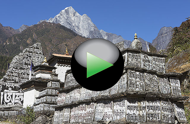
The journey from Lukla to Namche Bazaar

VIDEO LINK
ID: 93
The path on Google Maps.
The journey to Everest Base Camp, begins with the landing in the small airport of Lukla, the only airport near by the Sagarmath National Park, where there are the most famous mountains of the Himalayas such as Mt. Everest (8848 m), Lothse (8516 m), Nuptse (7864 m) and Pumo Ri (7165 m), to name only the most famous. In this first part of the journey, we crossing thick forests of the valley of Thade Koshi Khola River. It starts from Lukla at 2840m to get to Namche Bazaar at 3440 m following a long path of about 18 km long. The lunch stop in the small village of Bengkar at 2630 m is the opportunity for a little rest before resuming the climb to Namche Bazaar, the major town that you meet on the path to the highest mountains in the world.
For more informations about the journey:
www.viaggiaconcarlo.com
Copyright 2022 by Carlo Piccinelli - All right reserved
Privacy, Terms of use and Legal Warning
Hosted by colorit.net