World  Travel  Reportage 

Photos and videos of travel, culture, nature, sports by professional reporters

facebook logo
World  Travel  Reportage 
Photos and videos of travel, culture, nature, sports by professional reporters
SEARCH

Upper Susa valley (Italy)
Clicking moves left

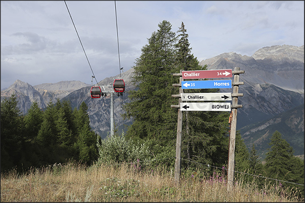
Arrival of the cable car in Fregiusia (1,944 m), well-known winter destination for skiers who frequent the Jafferau ski area

1/34
Clicking moves right

Arrival of the cable car in Fregiusia (1,944 m), well-known winter destination for skiers who frequent the Jafferau ski area

Clicking moves left

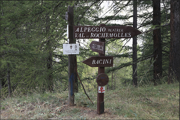
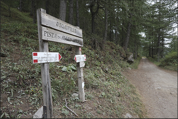
Signposts at the start of the old Decauville segment railway used to build the Rochemolles dam

2/34
Clicking moves right

Signposts at the start of the old Decauville segment railway used to build the Rochemolles dam

Clicking moves left

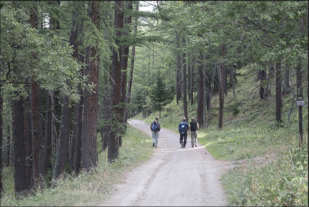
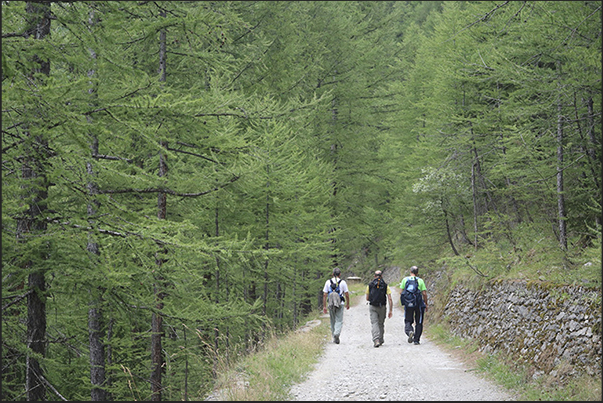
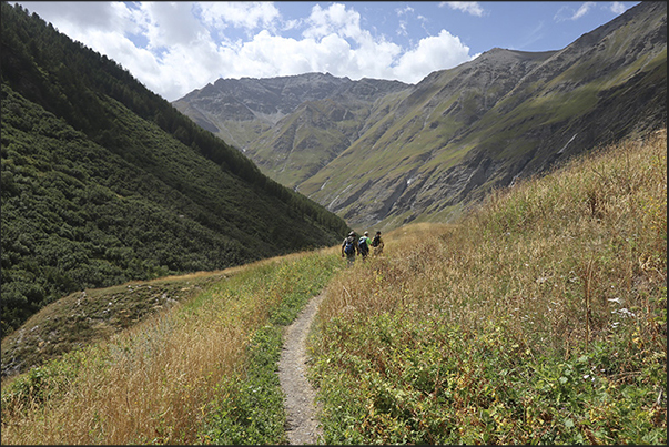
The Decauville, now a pedestrian and cycle dirt road, crosses the dense forest of the slopes of Mount Jafferau

3/34
Clicking moves right

The Decauville, now a pedestrian and cycle dirt road, crosses the dense forest of the slopes of Mount Jafferau

Clicking moves left

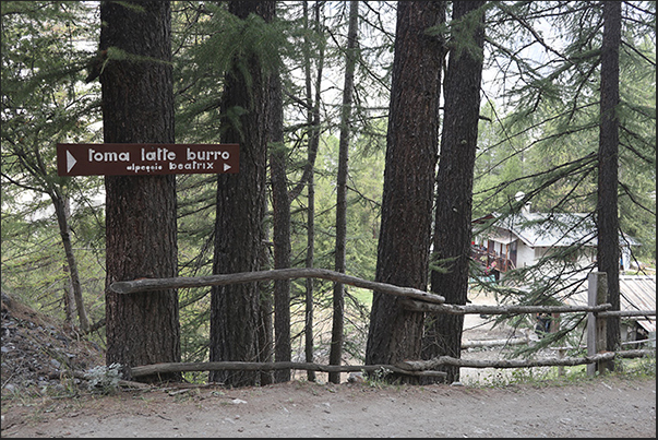
A mountain pasture where typical cheeses and butter are produced from the milk of cows that graze at high altitude

4/34
Clicking moves right

A mountain pasture where typical cheeses and butter are produced from the milk of cows that graze at high altitude

Clicking moves left

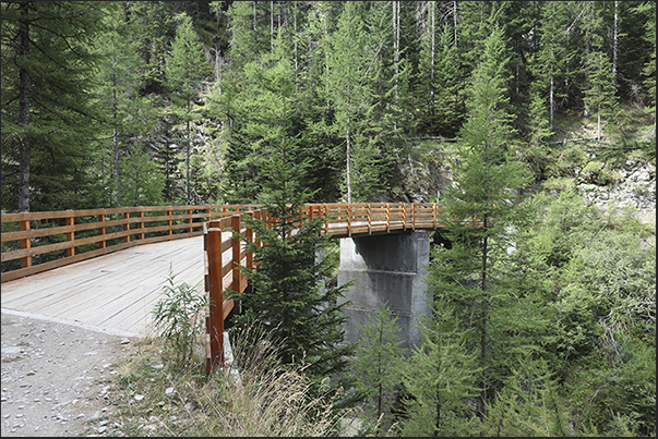
New bridges cross streams and narrow valleys on the route to ancient Decauville

5/34
Clicking moves right

New bridges cross streams and narrow valleys on the route to ancient Decauville

Clicking moves left

The Decauville, now a pedestrian and cycle dirt road, crosses the dense forest of the slopes of Mount Jafferau

6/34
Clicking moves right

The Decauville, now a pedestrian and cycle dirt road, crosses the dense forest of the slopes of Mount Jafferau

Clicking moves left

At each crossroads there are indicator signs so as not to lose the direction to follow towards the Rochemolles dam

7/34
Clicking moves right

At each crossroads there are indicator signs so as not to lose the direction to follow towards the Rochemolles dam

Clicking moves left

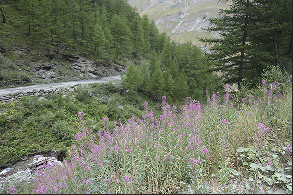
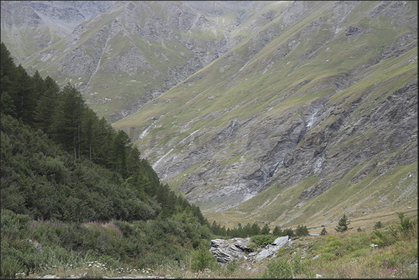
As you go up, the woods thin out and the rocky walls that overlook the valley appear

8/34
Clicking moves right

As you go up, the woods thin out and the rocky walls that overlook the valley appear

Clicking moves left

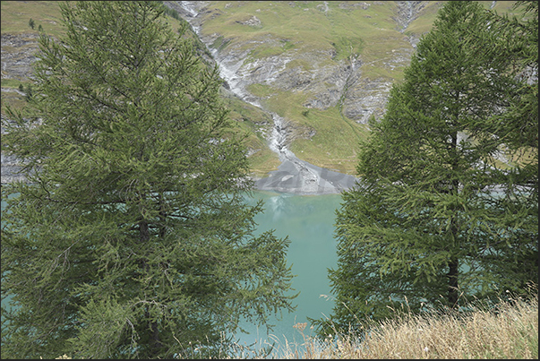
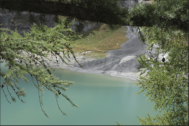
Lake produced by the dam (1,973 m) that collects the water that flows from the streams of the upper Rochemolles valley

9/34
Clicking moves right

Lake produced by the dam (1,973 m) that collects the water that flows from the streams of the upper Rochemolles valley

Clicking moves left

Lake produced by the dam (1,973 m) that collects the water that flows from the streams of the upper Rochemolles valley

10/34
Clicking moves right

Lake produced by the dam (1,973 m) that collects the water that flows from the streams of the upper Rochemolles valley

Clicking moves left

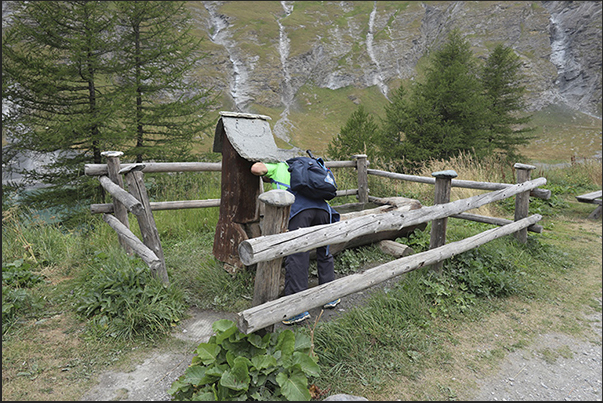
Fresh water in the refreshment area along the banks of the Rochemolles dam lake (1,973 m)

11/34
Clicking moves right

Fresh water in the refreshment area along the banks of the Rochemolles dam lake (1,973 m)

Clicking moves left

Beyond the dam the woods give way to pastures

12/34
Clicking moves right

Beyond the dam the woods give way to pastures

Clicking moves left

Rochemolles torrent which gives its name to the valley before entering the dam basin

13/34
Clicking moves right

Rochemolles torrent which gives its name to the valley before entering the dam basin

Clicking moves left

Rochemolles torrent which gives its name to the valley before entering the dam basin

14/34
Clicking moves right

Rochemolles torrent which gives its name to the valley before entering the dam basin

Clicking moves left

The valley ends in a clearing used in the early 1900s for the extraction of material for the construction of the dam

15/34
Clicking moves right

The valley ends in a clearing used in the early 1900s for the extraction of material for the construction of the dam

Clicking moves left

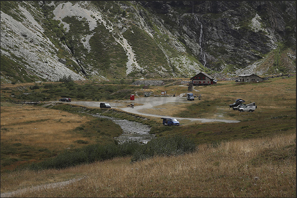
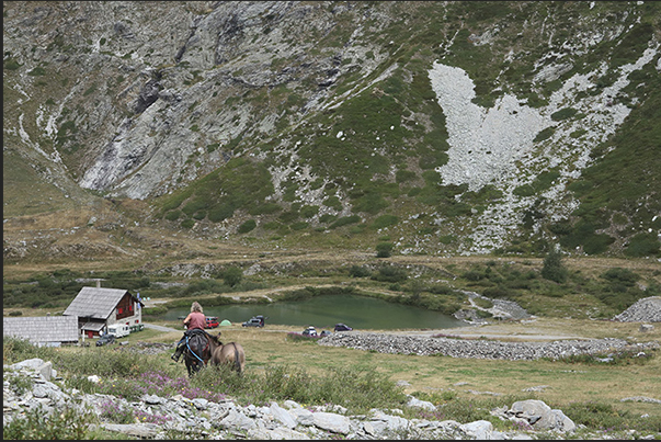
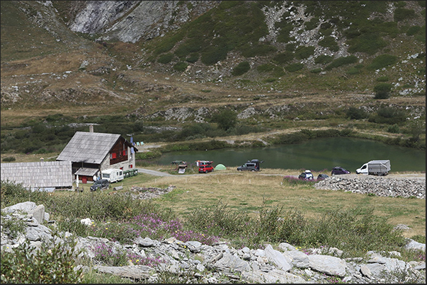
In the center of Grange du Fond there is the Scarfiotti refuge, a stop for hikers to taste typical dishes of local products

16/34
Clicking moves right

In the center of Grange du Fond there is the Scarfiotti refuge, a stop for hikers to taste typical dishes of local products

Clicking moves left

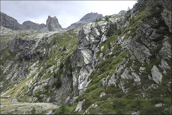
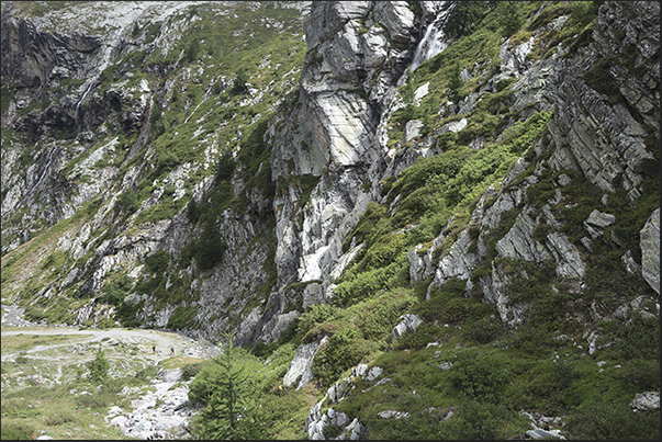
The rugged rock walls that delimit the valley where the Scarfiotti refuge is located

17/34
Clicking moves right

The rugged rock walls that delimit the valley where the Scarfiotti refuge is located

Clicking moves left

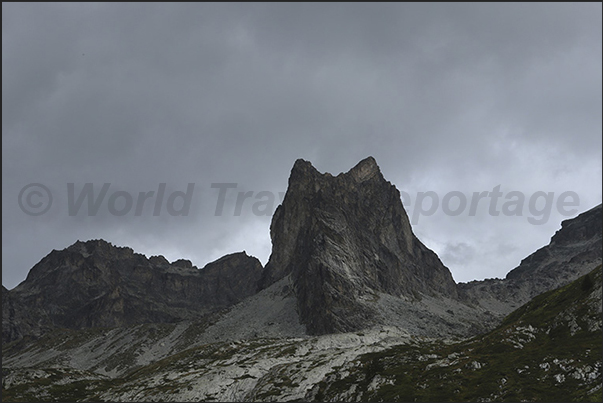
Rugged mountains outline the profile of the mountains above the Scarfiotti refuge

18/34
Clicking moves right

Rugged mountains outline the profile of the mountains above the Scarfiotti refuge

Clicking moves left

Stone extraction quarries used in the early 1900s for the construction of the dam on the Rochemolles stream

19/34
Clicking moves right

Stone extraction quarries used in the early 1900s for the construction of the dam on the Rochemolles stream

Clicking moves left

Stone extraction quarries used in the early 1900s for the construction of the dam on the Rochemolles stream

20/34
Clicking moves right

Stone extraction quarries used in the early 1900s for the construction of the dam on the Rochemolles stream

Clicking moves left

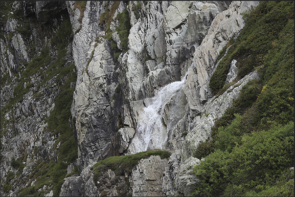
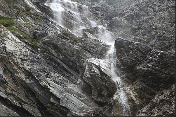
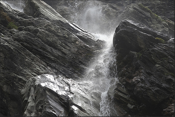
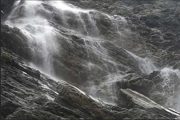
The Rochemolles torrent begins its journey in the valley with the waterfalls that flow into the basin of the Scarfiotti refuge

21/34
Clicking moves right

The Rochemolles torrent begins its journey in the valley with the waterfalls that flow into the basin of the Scarfiotti refuge

Clicking moves left

The Rochemolles torrent begins its journey in the valley with the waterfalls that flow into the basin of the Scarfiotti refuge

22/34
Clicking moves right

The Rochemolles torrent begins its journey in the valley with the waterfalls that flow into the basin of the Scarfiotti refuge

Clicking moves left

The Rochemolles torrent begins its journey in the valley with the waterfalls that flow into the basin of the Scarfiotti refuge

23/34
Clicking moves right

The Rochemolles torrent begins its journey in the valley with the waterfalls that flow into the basin of the Scarfiotti refuge

Clicking moves left

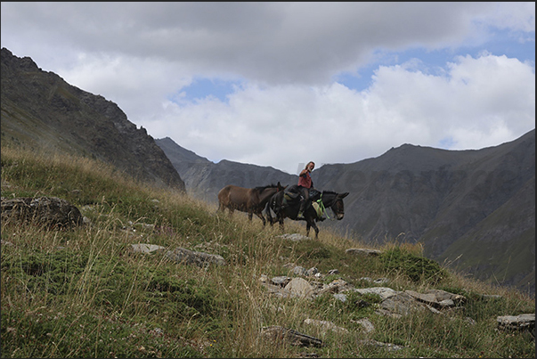
From the Sommeiller (3,009 m) hikers, not only on foot or by bicycle, return to the Scarfiotti refuge (2,165 m)

24/34
Clicking moves right

From the Sommeiller (3,009 m) hikers, not only on foot or by bicycle, return to the Scarfiotti refuge (2,165 m)

Clicking moves left

From the Sommeiller (3,009 m) hikers, not only on foot or by bicycle, return to the Scarfiotti refuge (2,165 m)

25/34
Clicking moves right

From the Sommeiller (3,009 m) hikers, not only on foot or by bicycle, return to the Scarfiotti refuge (2,165 m)

Clicking moves left

Scarfiotti refuge (2,165 m), Grange du Fond plateau on the Bardonecchia road (1,312 m) - Sommeiller pass (3,009 m)

26/34
Clicking moves right

Scarfiotti refuge (2,165 m), Grange du Fond plateau on the Bardonecchia road (1,312 m) - Sommeiller pass (3,009 m)

Clicking moves left

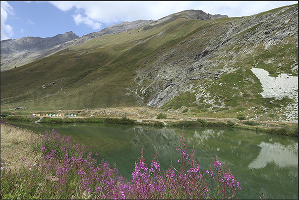
Small lake on the Grange du Fond plateau in front of the Scarfiotti refuge (2,165 m).

27/34
Clicking moves right

Small lake on the Grange du Fond plateau in front of the Scarfiotti refuge (2,165 m).

Clicking moves left

Small lake on the Grange du Fond plateau in front of the Scarfiotti refuge (2,165 m).

28/34
Clicking moves right

Small lake on the Grange du Fond plateau in front of the Scarfiotti refuge (2,165 m).

Clicking moves left

Pastures on the slopes surrounding the Grange du Fond plateau where the Scarfiotti refuge is located (2,165 m).

29/34
Clicking moves right

Pastures on the slopes surrounding the Grange du Fond plateau where the Scarfiotti refuge is located (2,165 m).

Clicking moves left

Pastures on the slopes surrounding the Grange du Fond plateau where the Scarfiotti refuge is located (2,165 m).

30/34
Clicking moves right

Pastures on the slopes surrounding the Grange du Fond plateau where the Scarfiotti refuge is located (2,165 m).

Clicking moves left

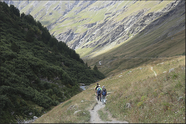
On the return path towards the lake of the Rochemolles dam

31/34
Clicking moves right

On the return path towards the lake of the Rochemolles dam

Clicking moves left

On the return path towards the lake of the Rochemolles dam

32/34
Clicking moves right

On the return path towards the lake of the Rochemolles dam

Clicking moves left

Bardonecchia can be seen just far away at the bottom of the Rochemolles valley

33/34
Clicking moves right

Bardonecchia can be seen just far away at the bottom of the Rochemolles valley

Clicking moves left

The excursion route

34/34
Clicking moves right

The excursion route

Arrival of the cable car in Fregiusia (1,944 m), well-known winter destination for skiers who frequent the Jafferau ski area
Signposts at the start of the old Decauville segment railway used to build the Rochemolles dam
The Decauville, now a pedestrian and cycle dirt road, crosses the dense forest of the slopes of Mount Jafferau
A mountain pasture where typical cheeses and butter are produced from the milk of cows that graze at high altitude
New bridges cross streams and narrow valleys on the route to ancient Decauville
The Decauville, now a pedestrian and cycle dirt road, crosses the dense forest of the slopes of Mount Jafferau
At each crossroads there are indicator signs so as not to lose the direction to follow towards the Rochemolles dam
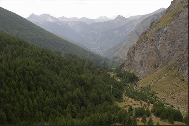
As you go up, the woods thin out and the rocky walls that overlook the valley appear
Lake produced by the dam (1,973 m) that collects the water that flows from the streams of the upper Rochemolles valley
Fresh water in the refreshment area along the banks of the Rochemolles dam lake (1,973 m)
Beyond the dam the woods give way to pastures
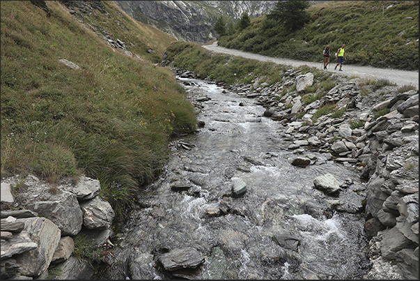
Rochemolles torrent which gives its name to the valley before entering the dam basin
The valley ends in a clearing used in the early 1900s for the extraction of material for the construction of the dam
In the center of Grange du Fond there is the Scarfiotti refuge, a stop for hikers to taste typical dishes of local products
The rugged rock walls that delimit the valley where the Scarfiotti refuge is located
Rugged mountains outline the profile of the mountains above the Scarfiotti refuge
Stone extraction quarries used in the early 1900s for the construction of the dam on the Rochemolles stream
The Rochemolles torrent begins its journey in the valley with the waterfalls that flow into the basin of the Scarfiotti refuge
From the Sommeiller (3,009 m) hikers, not only on foot or by bicycle, return to the Scarfiotti refuge (2,165 m)
Scarfiotti refuge (2,165 m), Grange du Fond plateau on the Bardonecchia road (1,312 m) - Sommeiller pass (3,009 m)
Small lake on the Grange du Fond plateau in front of the Scarfiotti refuge (2,165 m).
Pastures on the slopes surrounding the Grange du Fond plateau where the Scarfiotti refuge is located (2,165 m).
On the return path towards the lake of the Rochemolles dam
Bardonecchia can be seen just far away at the bottom of the Rochemolles valley
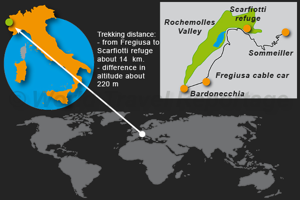
The excursion route
The excursion route

to download this reportage or
Italy - Curiosity - Back to index

By: Carlo Piccinelli

ID: 194

Scarfiotti refuge on Google Maps.
The Scarfiotti refuge (2,165 m) is located in the Grange du Fond basin which once hosted some granges (rural mountain houses) of breeders who led their animals to the mountain pastures at high altitude. In 1921 following the project to build a dam at Grange du Plan (1,973 m) which would supply water to a hydroelectric power station for the electrification of Turin - Lyon railway line passing through the Frejus tunnel, one was built a Decauville which served to connect with a small steam locomotive both the quarry for the extraction of rock material for the construction of the dam from Grange du Fond to Grange du Plan and to connect the construction site to the Fregiusia basins where there was a building that served as a hotel and logistics base between Bardonecchia and the dam construction site. Today there is nothing left of the Decauville narrow gauge railway but the almost flat route frequented by walkers and cyclists remains who from the Fregiusia basins reach the Scarfiotti refuge passing near the lake of the Rochemolles dam. Camillo Scarfiotti refuge, built in 1923, is a stop on the climb to the Sommeiller glacier which has unfortunately now melted due to climate change. A refuge where you can rest and enjoy typical high mountain cuisine.
Links for more informations:
https://www.rifugioscarfiotticrosetto.com/il-rifugio/