Clicking moves left
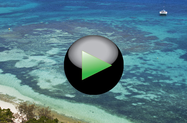
In flight over Nouméa, the capital of New Caledonia
1/50
Clicking moves right
Clicking moves left
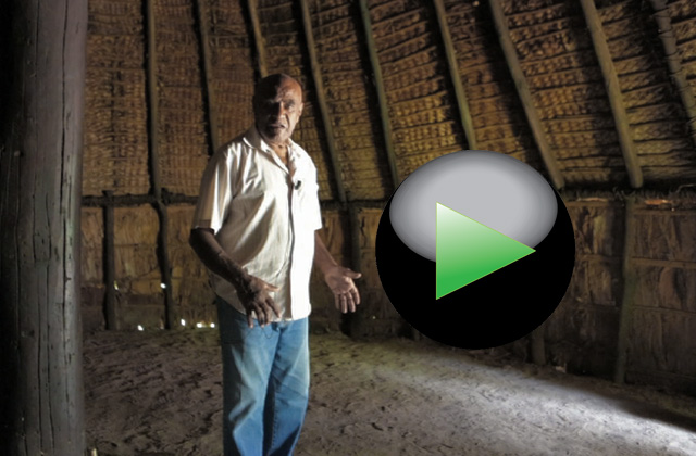
South west coast. The great home of the Petit Couli tribe
2/50
Clicking moves right
Clicking moves left
South west coast. The entrance of the common home of the Petit Couli tribe
3/50
Clicking moves right
Clicking moves left
The roof of a house common of Kanak
4/50
Clicking moves right
Clicking moves left
Totem entrance of the Kanak tribe villages that living on the island
5/50
Clicking moves right
Clicking moves left
Totem entrance of the Kanak tribe villages that living on the island
6/50
Clicking moves right
Clicking moves left
West Coast. The forest of Les Grandes Fougères National Park near the village of Farino
7/50
Clicking moves right
Clicking moves left
West Coast. The forest of Les Grandes Fougères National Park near the village of Farino
8/50
Clicking moves right
Clicking moves left
West Coast. The forest of Les Grandes Fougères National Park near the village of Farino
9/50
Clicking moves right
Clicking moves left
This bird called Cagou, it is also the symbol of New Caledonia. Having no predators, the Cagou has forgotten how to fly
10/50
Clicking moves right
Clicking moves left
This bird called Cagou, it is also the symbol of New Caledonia. Having no predators, the Cagou has forgotten how to fly
11/50
Clicking moves right
Clicking moves left
West coast. The Gouaro Bay.
12/50
Clicking moves right
Clicking moves left
West coast. Turtle Bay in the Gouaro Bay.
13/50
Clicking moves right
Clicking moves left
West Coast. Roche Percée, the strange rock that also gives its name to the village in the Gouaro Bay
14/50
Clicking moves right
Clicking moves left
West Coast. The lagoon near the village of Poé defined by UNESCO, World Heritage Site
15/50
Clicking moves right
Clicking moves left
West Coast. One of the few access pass to the coast in front of the Nature Reserve Domain de Deva
16/50
Clicking moves right
Clicking moves left
West Coast. A herd of deer in the Domain de Deva Nature Reserve
17/50
Clicking moves right
Clicking moves left
North-west coast. The caves of Koumac
18/50
Clicking moves right
Clicking moves left
The red mountains that characterize the landscape in the northern territories
19/50
Clicking moves right
Clicking moves left
The northern tip of Grande Terre and, on the horizon, the island of Baaba
20/50
Clicking moves right
Clicking moves left
The mangrove swamps that characterize the north coast
21/50
Clicking moves right
Clicking moves left
The mangrove swamps that characterize the north coast
22/50
Clicking moves right
Clicking moves left
Baaba island a few miles from the northern tip of Grande Terre
23/50
Clicking moves right
Clicking moves left
East Coast. The ferry on the Oualième river
24/50
Clicking moves right
Clicking moves left
East Coast. The estuary of the Oualième river
25/50
Clicking moves right
Clicking moves left
The coral platforms that protect for long stretches the east coast.
26/50
Clicking moves right
Clicking moves left
East Coast. Village of Hienghène. The cliffs and the lagoon of Lindéralique
27/50
Clicking moves right
Clicking moves left
East Coast. Village of Hienghène. The cliffs of Lindéralique
28/50
Clicking moves right
Clicking moves left
East Coast. The Hienghène Bay. The tropical forest around the bay.
29/50
Clicking moves right
Clicking moves left
Rest area to admire the view of the bay of Hienghène
30/50
Clicking moves right
Clicking moves left
The mountains that rise along the east coast of the island near the town of Hienghène
31/50
Clicking moves right
Clicking moves left
The Hienghène Bay with the island of La Poule (The Hen), so named for of its characteristic shape
32/50
Clicking moves right
Clicking moves left
The north side of Hienghène Bay
33/50
Clicking moves right
Clicking moves left
East coast. The beaches near Poindimié town
34/50
Clicking moves right
Clicking moves left
River on the east coast
35/50
Clicking moves right
Clicking moves left
The village of the Bas Coulnà tribe located on the mountains about 30 km from the town of Hienghène
36/50
Clicking moves right
Clicking moves left
The village of the Bas Coulnà tribe hidden among the tropical forest
37/50
Clicking moves right
Clicking moves left
The village of the Bas Coulnà tribe
38/50
Clicking moves right
Clicking moves left
South coast. Prony Bay
39/50
Clicking moves right
Clicking moves left
South coast. Prony Bay. The mud carried by rivers crossing the red earths, color the sea water
40/50
Clicking moves right
Clicking moves left
The red soils that characterize the southern tip of the island
41/50
Clicking moves right
Clicking moves left
The red soils that characterize the southern tip of the island
42/50
Clicking moves right
Clicking moves left
Southern tip of the island. The artificial lake of Yaté on the Rivière Bleue Park
43/50
Clicking moves right
Clicking moves left
Southern tip of the island. The bridge access to the Rivière Bleue Park
44/50
Clicking moves right
Clicking moves left
Southern tip of the island. The artificial lake of Yatè in the Rivière Bleue Park
45/50
Clicking moves right
Clicking moves left
The artificial lake of Yate in the Rivière Bleue Park. The strongest trees are resistant to water maceration
46/50
Clicking moves right
Clicking moves left
Southern tip of the island. The path into the Rivière Bleue, a large area of land converted in National Park
47/50
Clicking moves right
Clicking moves left
The ruins at Prony, the first settlement of the settlers came from Europe.
48/50
Clicking moves right
Clicking moves left
South Coast. The waterfalls of Madeleine in the botanical garden in the Rivière Bleue National Park.
49/50
Clicking moves right
Clicking moves left
The high mountains of the southern tip of the island in the region of Mont Dore
50/50
Clicking moves right